
About This Event
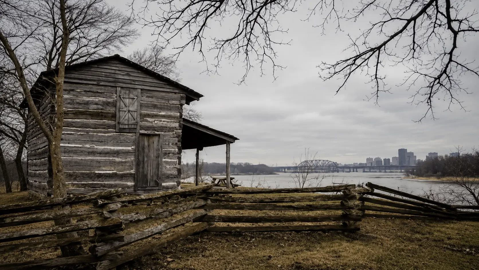
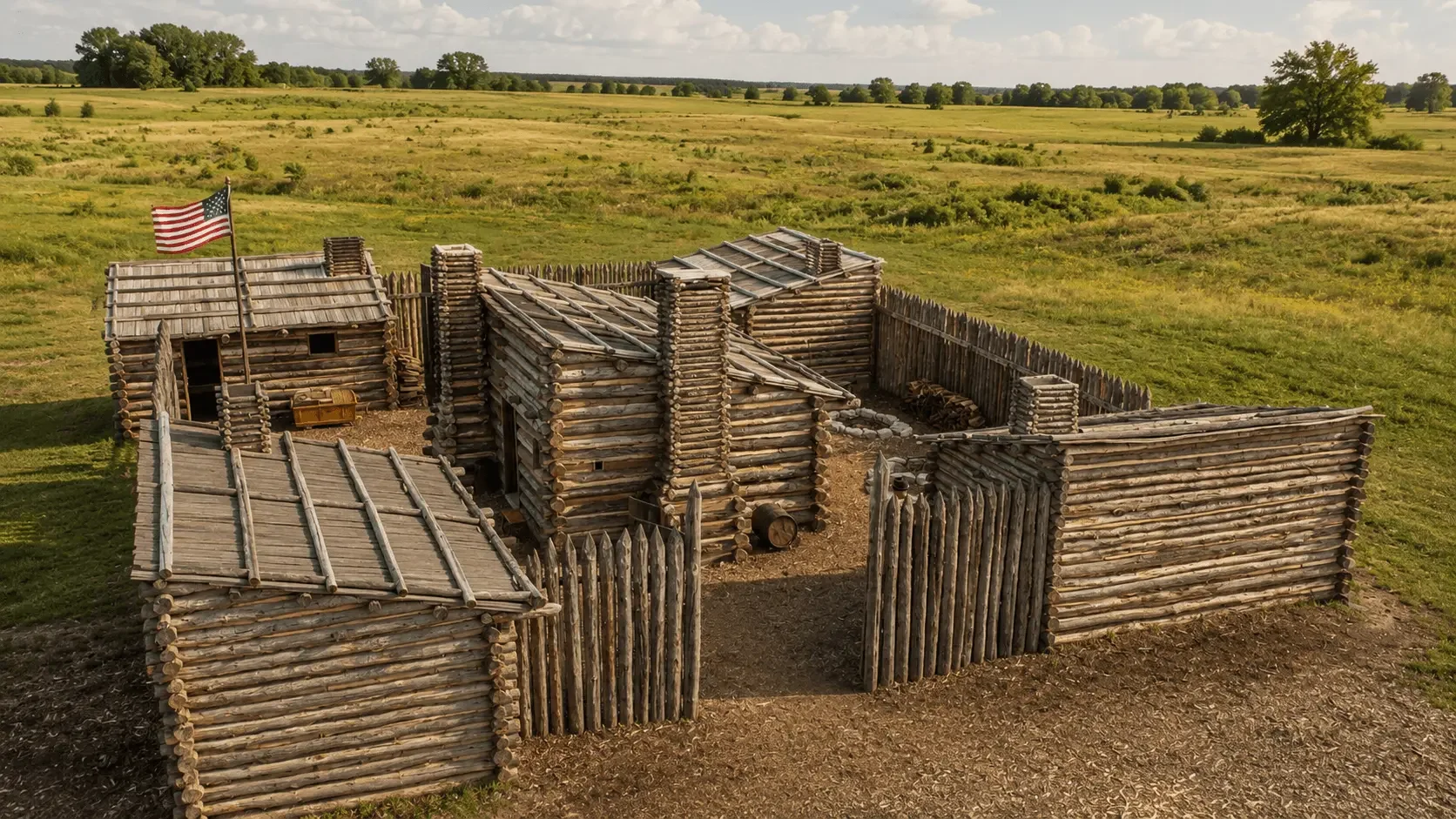
The Lewis and Clark Expedition grew from President Thomas Jefferson’s longstanding interest in western geography, commerce, science, and an overland route to the Pacific. In 1803, as the United States acquired the Louisiana Territory from France, Jefferson commissioned Meriwether Lewis to lead an exploring party. Lewis selected William Clark as co-commander. Preparations began before the main expedition departed, but the Corps of Discovery’s core western journey began on May 14, 1804, when Clark and the party left Camp River Dubois near the confluence of the Mississippi and Missouri Rivers; Lewis joined them shortly afterward at St. Charles.
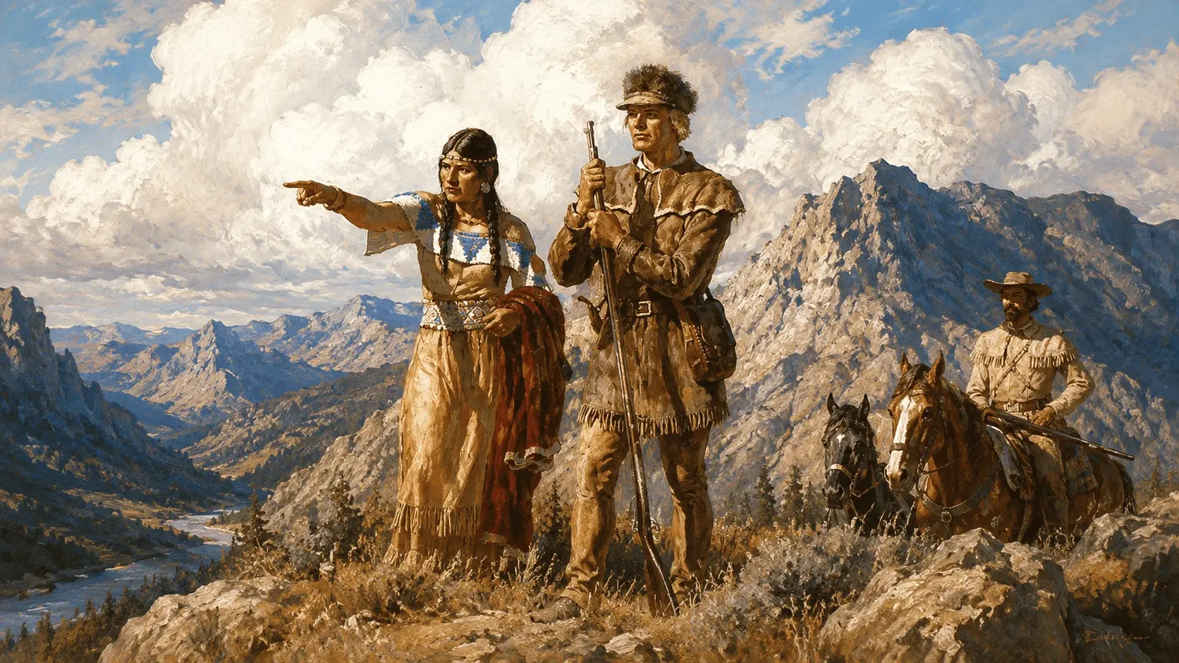
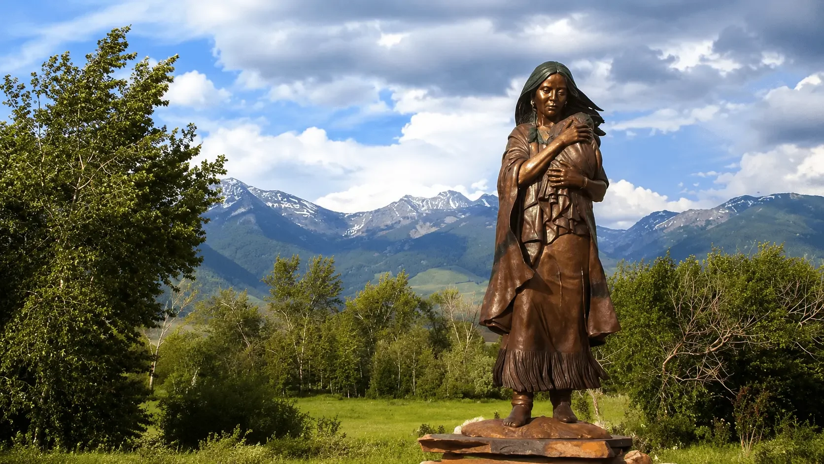
The expedition moved up the Missouri River through the homelands of many Native nations. Its goals included recording geography, plants, animals, and resources; seeking a practical route to the Pacific; expanding trade; and establishing diplomatic relations in ways that also asserted U.S. sovereignty. The Corps wintered in 1804–1805 at Fort Mandan near Mandan and Hidatsa communities in present-day North Dakota. There, Toussaint Charbonneau joined as an interpreter, accompanied by Sacagawea, a young Shoshone woman, and later their infant son Jean Baptiste. Sacagawea’s language knowledge, geographic familiarity, and family connections became especially valuable when the expedition sought horses from Shoshone people to cross the Rocky Mountains.
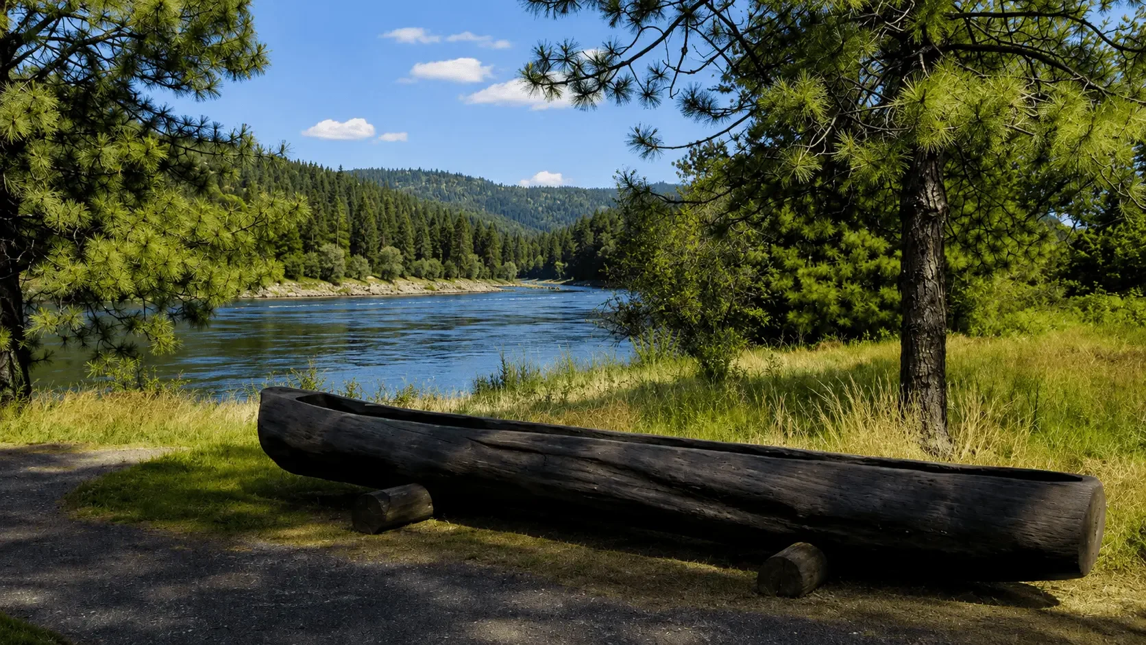
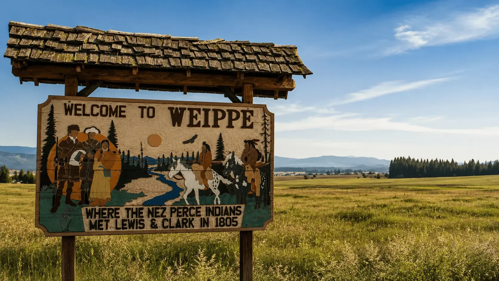
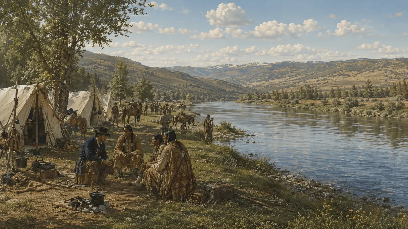
The journey west required extensive Indigenous assistance. Native communities provided food, information, horses, routes, and diplomatic contacts. After crossing the Continental Divide and the difficult Lolo Trail, the Corps reached Nez Perce country and then traveled down the Clearwater, Snake, and Columbia Rivers. The expedition reached the Pacific in November 1805 and spent the winter at Fort Clatsop near the mouth of the Columbia. In spring 1806, the party began its return, at times dividing into smaller groups to explore additional routes. The Corps arrived back in St. Louis on September 23, 1806.
Lewis, Clark, and other members kept extensive journals and produced maps and scientific observations. The expedition documented hundreds of plants and animals and greatly improved U.S. geographic knowledge of the trans-Mississippi West, while also demonstrating that no easy all-water route connected the Missouri directly to the Pacific. York, an enslaved man held by Clark, performed the same demanding labor as other members and participated in diplomacy, yet he returned from the expedition still enslaved. The Corps’s encounters with Native nations were likewise more complex than later stories of peaceful exploration suggest: these were sovereign homelands, and U.S. assertions of authority often exceeded what Native leaders understood or accepted.
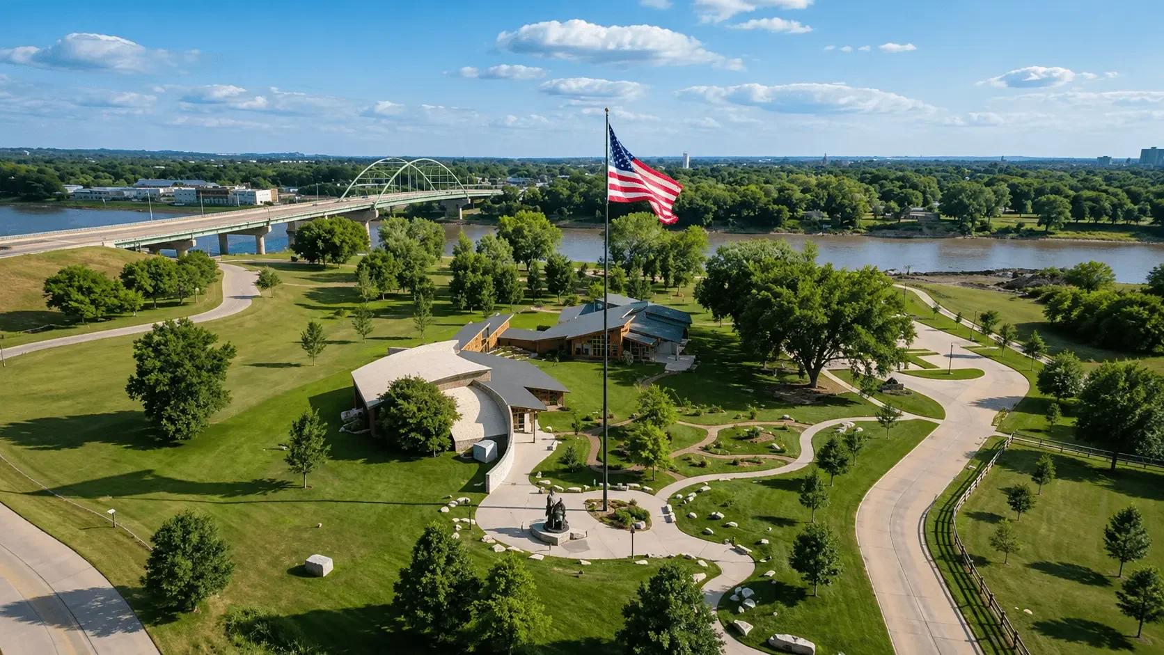
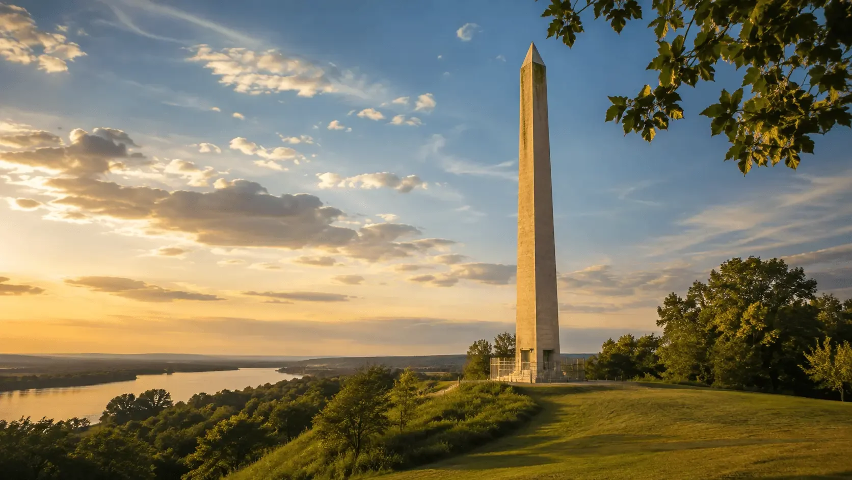
The expedition strengthened American interest in western trade, diplomacy, mapping, and expansion. Visitors can follow that history at sites across the Lewis and Clark National Historic Trail, including the Lewis & Clark State Historic Site near Camp Dubois in Illinois, Knife River Indian Villages National Historic Site in North Dakota, Pompeys Pillar in Montana where Clark carved his name, and Fort Clatsop in Oregon. Together, these places show that the expedition was not a journey through empty land but a continental passage through populated and politically complex Native territories.
Last updated August 13, 2026